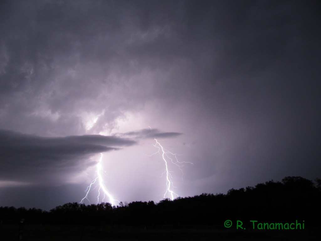
On 30 May 2012, I had the honor of tagging along with the NOXP radar (with my husband Dan D. and Ted M. as crew), operating in support in of the Deep Convective Clouds and Chemistry Experiment DC3). Although the morning’s SPC outlook highlighted a SW KS-NW OK corridor for severe thunderstorms, some of the high-res models indicated that there would be an earlier outbreak of storms along the dryline in the E TX PH, in response to a developing cyclone and robust moisture return. Any cold pools laid down by the storms in Texas had the potential to muck up the Oklahoma target.
Farther west, storms fired off the dryline and promptly split. Right-movers tracked southeast, prompting the DC3 radars (SR1, SR2, and NOXP, led by Dr. Mike Biggerstaff) to head south out of Altus on U.S. Hwy. 283. A few participants grumbled about the choice to head south rather than take more direct route west. However, the objectives of DC3 are a bit different than in VORTEX2. Priority number one is long-duration, dual-doppler data in convective storms, so the radars set up well in advance and collect as the storms pass by. (Tornadoes are not the main focus of DC3, but they’re considered a nice bonus.)
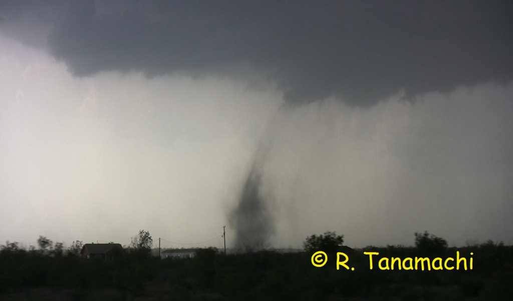
After crossing the Texas border, thereby committing ourselves to chasing right movers, Dr. Biggerstaff decided to target the southernmost storm in the cluster, which was headed for Paducah, TX, and set up his dual-Doppler lobe on U.S. Hwy. 70 between Crowell and Paducah. As the crew NOXP’s scout vehicle (a mobile mesonet called Scout 3) drove ahead to locate a suitable deployment site and hold it for the radar truck, a few dramatic dust clouds arose on the updraft-downdraft interface, some with gustnadoes and shallow rotation. One dust tube (pictured at top) extended up hundreds of feet, almost touching cloud base. It was unclear whether it as connected to the nearby mesocyclone or shear-induced, so I’ve been calling it a “landspout” in my discussions.
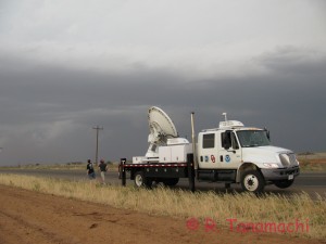
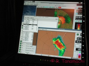
We undeployed and headed south again to U.S. Hwy. 82, where we learned that the DC3 balloon crews had stopped operating. NOXP headed back north again for a second deployment on U.S. Hwy. 83, targeting a second supercell following much the same track as the first Paducah supercell. Although the storm had a nice inflow tail, it appeared to be outflow-dominated, with a rolling dust cloud spilling out in front of it.
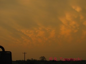
During our hasty, hail-induced departure from Paducah earlier in the afternoon, we had had to leave behind a pair of NOXP’s metal plates (placed underneath the hydraulic levelers on soft soil). As we returned to the site to retrieve the plates, we observed sporadic wind damage throughout Paducah. Garage doors had buckled inward, roof shingles and small brances were strewn across lawns, and the power in Paducah was out. A few miles east of Paducah, near the intersection of U.S. Hwy. 70 and County Rd. 301, we encountered a metal outbuilding that had been about 50% demolished by a particularly intense wind swath. Sheet metal had been peeled off and scattered to the southwest of the structure, wrapped around telephone poles and road signs up to 1/4 mile away. (I couldn’t get any photos owing to darkness.) Curiously, a second metal building across the street, a few hundred feet to the south, appeared untouched. Some very localized wind phenomenon (small tornado? microburst?) had inflicted substantial damage there.
After retrieving the plates, we made our way back to Norman by way of Childress, TX. Now in the driver’s seat, Dan fought a 70 mph head wind in Lawton, pushed out by collapsing storms dozens of miles to the north. We pulled back into the NWC around 2 a.m.
