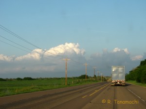
Dan D., Jeff S., Mike F., and I headed west on 12 April 2012. SPC had issued probabilities for severe storms from the triple point in W KS down the dryline into the TX and OK panhandles. The discussion mentioned the conditional nature of the severe storm potential; i.e., if storms formed, then they would likely be severe and have a good chance at producing tornadoes.
We initially drove up the northwest passage. We had a shot at targeting the triple point, but opted for the dryline bulge target in TX instead, heading west out of Watonga. The entire drive, we were socked in by low-level cloud cover – not a good sign, since it would limit solar heating and limit the ability of updrafts to punch through the moderately strong cap. It was also relatively chilly for a chase day – temperatures did not rise out of the 60s for most of the day.

It was a high risk, high-reward situation, and unfortunately our numbers did not come up. In hindsight, at my own peril I opted to ignore a preponderance of model solutions that forecast a cap bust. As they say, however, if you don’t play, you can’t win.