I started out my Saturday at a meeting of the local Norman ham radio club (W5NOR), where I was invited to give a talk about my Ph.D. research on the 2007 Greensburg storm and tornado. By the end of the day, I’d be watching yet another supercell track near Greensburg.
Dan D. and I briefly considered making the long drive up to Iowa, where were convinced a significant severe weather outbreak was going to occur. However, we were reluctant to shoulder the fuel expense (gas is now approaching $3.75/gallon, even in central Oklahoma) and the long drives there and back, so we looked to more local targets.
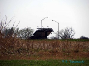
 I was not terribly impressed with any of the high-res WRF and HRRR solutions for 9 April over Oklahoma and Kansas, which consistently showed brief, disorganized bursts of convection, primarily at and after sunset. However, we joined a three-car caravan (including former officemates Jeff S. and Jana H.) and headed up toward Wichita. We spotted some wind damage near Blackwell, OK, caused by outflow from a supercell that crossed I-35 near sunset the day before.
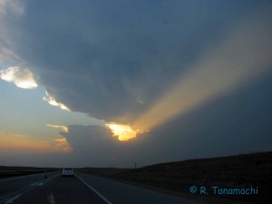
 Discouraged by the clear blue skies surrounding us, we held up briefly just north of Wichita, KS, then again in Kingman, KS. As 00Z approached, I was not optimistic. We had a number of “guest” chasers in our caravan, so we decided to target an anemic-looking blip that appeared near Woodward, OK. Haze prevented a good view of the associated cumulus towers until the sun dipped down behind it. I was encouraged that the updraft was substantial enough to completely block the sun, and the reflectivity values in the core continued to increase with time.
As we approached the storm along U.S. Hwy. 50/400 (which is vastly improved after years of construction, by the way), it took on a more supercellular appearance on KDDC. Interestingly, the storm’s motion was that of a left-mover (racing northeast at 55 mph), and a notch and mesoanticyclone developed on the storm’s northern flank. As the sun finally set at 8:04 p.m. CDT, we also saw hints of a hook and mesocyclone on the storm’s southern flank. The storm had a split personality!
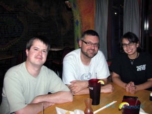
 North of Pratt, we passed an area of wildfire damage, with some stumps and trees still smoldering orange in the twilight. (Didn’t get any pictures of this, unfortunately.) The storm continued to race away to the northeast. Its base appeared to be well over 1 km AGL, a result of the 25-to-30 degree F temperature-dewpoint spreads being analyzed in the area. We stopped to watch the storm move away into the gathering darkness, then called the chase off. As we headed back to Pratt to get food, we managed to raise Amos M., who was chasing a few miles away from us, on amateur radio, and convinced him to join us for dinner at Playa Azul. We hadn’t seen him since the previous chase season, and it was good to catch up. Afterward, he joined our caravan as we headed back down I-35. We made it back to Norman around 2 a.m.
Along the way, reports surged in of the tornado outbreak in Iowa, including extensive damage in Mapleton. Even though I didn’t see a tornado on a day when so many others did, I don’t feel any great regret over our choice of target. We saw a photogenic supercell that exhibited interesting behavior, and didn’t have to stray that far from home to do it.